- Home
- Services
- Earthing Design & Design Verification
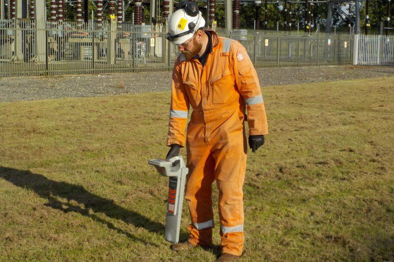
- Earth Testing and Measurements
- Pipeline Interference (Corrosion) Studies
- Impressed Voltage and Pipeline Interference Studies
- High Frequency & Transient Studies
- Lightning Protection Design & Risk Assessment
- Quantified Risk Assessment
- Risk Management
- Industry Training
- Earth System Maintenance and Upgrade
- Fault Investigation
- OHL Design & Surveying Consultancy
- Soil Resistivity Measurements
- Earth Resistance / Impedance Measurements
- Media Centre
- Accreditations
- Recruitment
- History
- Contact Us
- Calculation Tools